
Map Past Residents by Fredericksburg Era
A past-occupant search in Fredericksburg has a different starting source for each era. Begin with current FredGIS data and the deed that connects the parcel to its recorded history. Then choose a directory, census, map, permit, newspaper, or probate source that overlaps the period being investigated. A deed chain follows ownership, not necessarily day-to-day presence. Directories and census material may add household context, while permits, obituaries, and estate files often mark a change in the address story. Preserve the source year and the wording of the address before comparing the next record.
| Fredericksburg source | Era available | Access point | Address-history value |
|---|---|---|---|
| Circuit land records and SRA | 1782-present in paid online record groups; free remote 22401 index | Circuit Court Clerk, SRA, and counter books | Transfers, legal descriptions, deeds of trust, releases, and plats |
| Historic wills and marriage records | Wills 1782-1957 as extracts; marriages 1782-1962 | Historic Court Records, clerk archives, and LVA reels | Family, executor, locality, and event context, not current presence |
| Chataigne directory | 1888-1889 | CRRL Virginiana and UMW | Cross-street location, personal or business listing, and occupation |
| UMW directory titles | 1892, 1910-11, 1921, 1933, and 1938 confirmed | Virtual Virginiana and UMW resources | Dated address and business snapshots |
| Heritage and FRGS/HFF directories | 1888-1991; 1965-1997 with some gaps | Heritage Center and FRGS lookup route | Broader shelf run and later local snapshots |
| Federal census | 1790-1950, with 1950 the latest public full census in 2026 | NARA, Census resources, CRRL, and research services | Household, age, relationship, birthplace, and enumeration-district context |
| CAP permits and Sanborn maps | CAP live from October 23, 2023; 1886 Sanborn confirmed | City CAP, city records, LOC, and Heritage holdings | Work dates, building footprint, materials, use, and street context |
For a recent transfer, start with the parcel and deed. For an 1880s or early twentieth-century question, start with cross streets and a period directory or map. For an estate or family transition, use the clerk’s probate function and the dated newspaper or obituary material as separate, attributable evidence.
Walk Fredericksburg Deeds Backward
The recorded deed chain is the backbone for tracing previous residents through an address, even though it tracks ownership rather than daily presence. Search the current parcel in FredGIS and write down its GPIN, legal description, and current owner/property information. Search that owner as a grantee in the Fredericksburg City Circuit Court index to locate the acquisition deed. The seller named in that deed becomes the next grantee search. Continue backward by following the prior deed reference, book/page, or instrument number. Stop and resolve differences in the legal description before treating two address labels as the same parcel.
- Locate the address in FredGIS. Preserve the GPIN, parcel outline, situs, legal description when available, and the search date.
- Open the Virginia Secure Remote Access index, select Fredericksburg City Circuit Court, and search the current owner as grantee or use the GPIN.
- Read or request the purchase deed. Record the grantor, recording date, document or book/page reference, legal description, and prior-reference clause.
- Search the seller as a grantee to find how that party acquired the parcel. Repeat the same capture process for each earlier transfer.
- Use plats to interpret lot, block, subdivision, easement, or right-of-way changes. Turn to the clerk counter, archives, or Library of Virginia microfilm when an older item is not available remotely.
- Grantor / grantee
- The grantor transfers an interest; the grantee receives it. Both roles are useful index paths in a deed chain.
- Chain of title
- The dated sequence of recorded transfers and related references for the same parcel or legal description.
- Legal description
- The formal parcel wording in a deed, often a lot, block, subdivision, or metes-and-bounds description. It can outlast a changed street number.
- Enumeration district
- A census area used to locate a household in the proper schedule when a historic address is unclear or missing.
Note: A party-name index points to a document, but the document itself is the source for the legal description and prior-reference clause.
Get Fredericksburg Deed Images and Copies
The clerk’s land-record guidance distinguishes index access from document-image access. The city’s covered land, will, fiduciary, and marriage-license groups reach to 1782, while judgments reach to 1957 and financing statements to May 1994. A remote user can see a limited free index for 22401. Full remote images require local-clerk authorization, a signed subscriber agreement, and the listed $50 monthly access. That online split does not make an older record unavailable. The circuit clerk’s counter has computers and paper indexes, and older items can lead to archives or microfilm.
See the Virginia SRA access page used for Fredericksburg deed-index research.
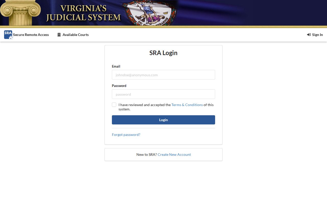
The SRA screen is an entry point to the index. A prior-owner conclusion still needs the matching recorded image or clerk-provided copy.
Copies are generally $0.50 per page, 11-by-17 copies are $1, and certification is $2. Requests can be made in person, by mail with an email address and self-addressed stamped envelope, or by email with a phone number. Payment is due before release, and phone payment is not accepted. These are useful fallback channels when an address history requires one missing page rather than a broad new search.
Anchor Previous Residents to a Fredericksburg GPIN
A current address alone can drift across time. FredGIS provides the parcel, GPIN, site location, owner/property information, map context, and adjoining parcels, but the city cautions that GIS is not a legal description or deed substitute. The distinction matters when a parcel has a mailing address outside the city, when an old street description uses a corner rather than a number, or when a subdivision changed the visible street pattern. Capture the GPIN and the deed’s legal description together. They form the stable handoff between present map research and past-record searches.
See the Fredericksburg land-record research instructions, which explain the local GPIN method.
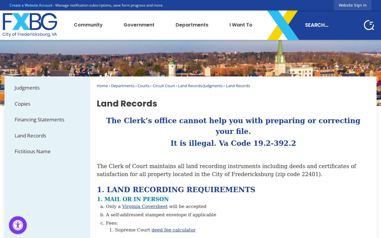
The Clerk’s instructions tie the city’s parcel identifier to the name and record-type searches needed for the backward address trail.
Pair Fredericksburg Directories With Census
Deeds identify recorded roles, but directories and census records supply the household layer for past residents. The earliest known surviving local directory is Chataigne’s Fredericksburg and Falmouth City Directory for 1888-89. UMW resources confirm directory titles for 1892, 1910-11, 1921, 1933, and 1938. The Heritage Center has city-directory holdings from 1888 through 1991, though it does not publish a year-by-year inventory. These are snapshots. They should be read against their publication year and paired with the closest available census rather than treated as a continuous record.
- Record the directory title, year, name spelling, occupation, and the home or office location exactly as printed.
- Convert any cross-street wording through a period map before matching it to a current number or parcel.
- Check the nearest public census schedule and its enumeration district for household composition and address-area context.
- Move to the next available directory year and note any new number, widow or estate notation, changed business address, or absent listing.
- Use a deed, probate file, newspaper notice, or map to resolve a change rather than filling the gap with an assumption.
The collections and entry conventions are explored on the Fredericksburg city directory page. For address history, the key is the sequence: directory date, map translation, census context, and the recorded parcel trail.
Translate Fredericksburg Cross Streets
Older Fredericksburg directories do not always use a modern number. The 1888-89 Chataigne volume locates entries with above, below, near, and corner references. Its abbreviations include ab, bel, nr, and cor. The correct response is not to force a modern address match. Start with the printed cross streets, compare them with city historic maps, then test the resulting area against a plat, legal description, census enumeration district, or later directory. This approach is particularly important where annexations changed the relationship between a location and city records.
The CRRL Virginiana Room supplies the local workbench for this kind of address problem, with map cases, local-house vertical files, books, newspapers on microfilm back to 1788, readers, and a specialist contact.
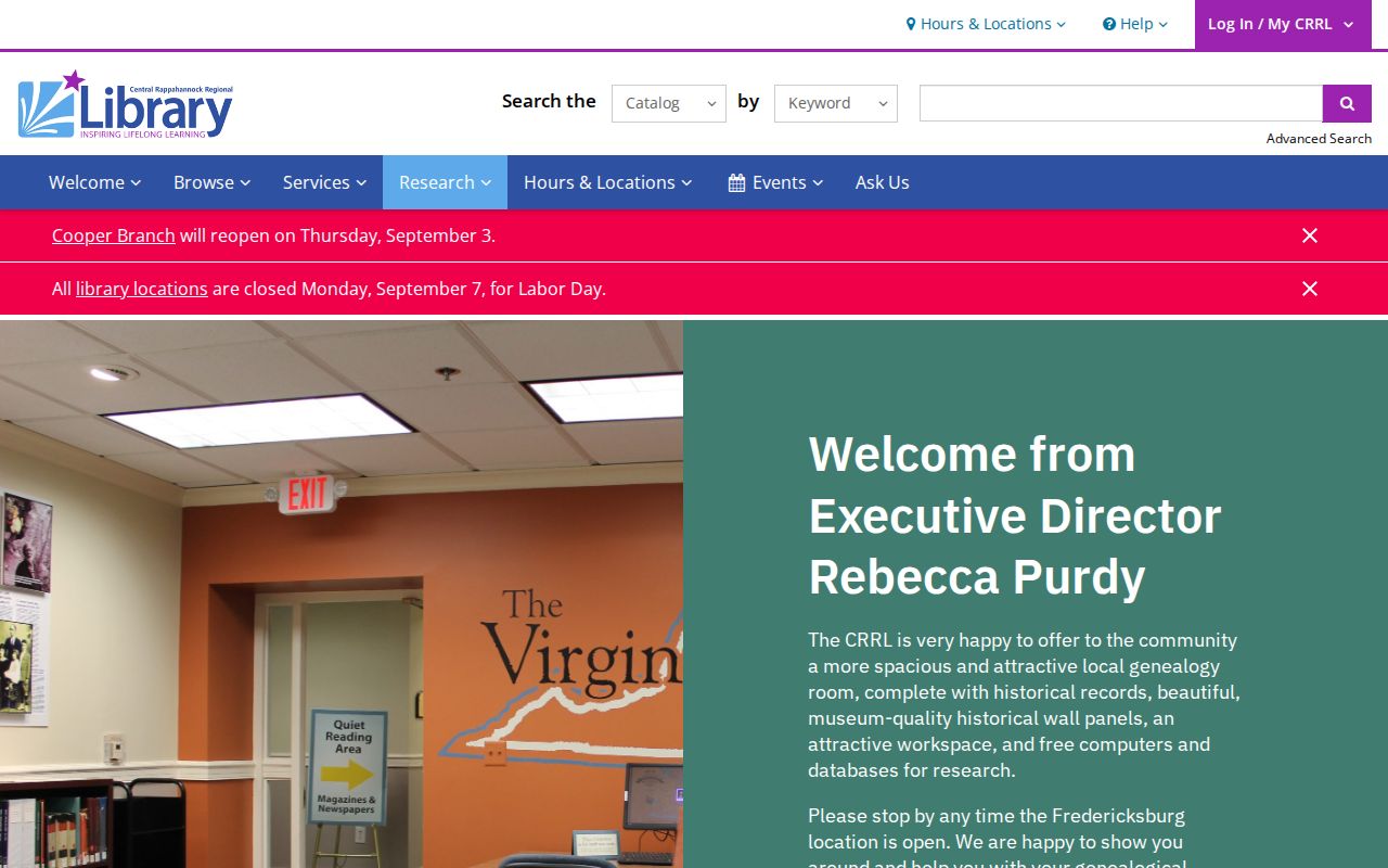
The room’s map and microfilm holdings help turn an earlier cross-street description into a documented address-area search.
Test Fredericksburg Addresses on Maps
The confirmed 1886 Fredericksburg Sanborn set has five sheets at the Library of Congress. It can show a building footprint, materials, number of stories, use, streets, and nearby features. Compare that evidence with a later directory or census and then with a deed’s legal description. The city maps page also offers historic maps and annexation resources. Fredericksburg expanded in 1951, 1955, and 1984, with the last annexation bringing about 4.4 square miles from Spotsylvania. That geography change is why an address trail must be tested against its era.
Note: No inspected source supplied a citywide street-renumbering year, so do not assume that a missing modern number proves the earlier location did not exist.
Fredericksburg Records Kept Their Depth
Fredericksburg’s Circuit Court Archives reports that its loose papers and bound volumes survived Civil War destruction. That preservation history helps explain the range of local material: early wills, marriages, inquests, order books, court actions, military papers, apprenticeship material, and other historic records. It does not mean every item is online or complete. Historic Court Records supplies searchable extracts, while the original material may require an archive appointment or verification at the Clerk’s office. For previous residents research, the preservation story is a reason to continue past a missing web image into the city’s archival channels.
Set Limits on Fredericksburg Address Trails
Previous residents searches should end with the record’s actual scope. A land record identifies a recorded transfer or interest. A directory is a dated publication entry. A census is a household snapshot for its census date. A permit can show that work was proposed, approved, or inspected. Probate material can identify estate roles and may contain confidential or sealed portions. None of these sources is a promise of complete current information, and protected addresses must remain protected. When a source conflicts with another, preserve both citations and return to the custodian rather than selecting the easier answer.
Lawful use. Fredericksburg address history supports family, estate, and personal historical research. Do not use a past-record trail to stalk, harass, track, intimidate, or harm any living person.
Request a Fredericksburg Missing Record
If the trail stops at an index reference, use the custodian that holds the item. The Circuit Court Clerk accepts written copy requests for land, estate, and court material. The city archives retrieve fragile originals by appointment, and the Library of Virginia catalog identifies local microfilm and loan availability. The Heritage Center’s catalog is only a partial list, so staff contact can be the right route for its directories, maps, family files, and newspapers. For existing city records outside court files, use the city’s records-request channel with a specific address, date range, and record type.