
Fredericksburg ZIP Code Coverage
Fredericksburg is an independent city, but “Fredericksburg, VA” is also a regional mailing label. The city's New Resident Guide identifies three localities in that mailing system: the City of Fredericksburg, Stafford County, and Spotsylvania County. Its practical rule is direct: 22401 is the expected ZIP for most city residences. The other nearby ZIPs require a physical-address and jurisdiction check before a city office is selected. A city ZIP map is useful evidence, but it works best alongside the address, the parcel situs, and the legal description.
| ZIP | Physical area or mailing signal | Post-office area | Records routing note |
|---|---|---|---|
| 22401 | City of Fredericksburg, including principal city neighborhoods and downtown | Fredericksburg mailing area | City land-record guidance expressly ties city property to this ZIP. |
| 22402 | Fredericksburg post-office box use | Fredericksburg | A box address can be outside city limits. Verify the physical location. |
| 22404 | Fredericksburg post-office box use | Fredericksburg | Use the same physical-location check as 22402. |
| 22405 | Stafford County area using a Fredericksburg mailing address | Stafford and Fredericksburg service area | Stafford offices generally control the local record. |
| 22406 | Stafford County area using a Fredericksburg mailing address | Stafford and Fredericksburg service area | Do not route the parcel to city records solely from its mailing name. |
| 22407 | Spotsylvania County area using a Fredericksburg mailing address | Fredericksburg service area | Spotsylvania records generally apply. |
| 22408 | Spotsylvania County area using a Fredericksburg mailing address | Fredericksburg service area | Spotsylvania records generally apply. |
The city's official ZIP map places 22401 in the central city and shows 22407 and 22408 in southern and outer areas. It is a helpful cross-check, not the final word on a parcel. The Circuit Court Clerk holds city land instruments, while county property may belong with Stafford or Spotsylvania even when its mailing city reads Fredericksburg.
Fredericksburg ZIP Code Boundary Traps
A Fredericksburg mailing ZIP does not establish city residency. The city guide warns that 22405 and 22406 generally signal Stafford County, while 22407 and 22408 generally signal Spotsylvania County. It also warns that 22402 and 22404 can be post-office boxes. River Road addresses numbered 5321 through 5517 are a city exception, and Summerfield addresses should be checked against the city ZIP map. Those details make a street address more useful than a ZIP alone when the next step is a records request.
The practical sequence is physical locality first, then record custodian. A city parcel can have an outside mailing address, while a Fredericksburg mailing address can identify a Stafford or Spotsylvania situs. The city’s maps page provides city-limits, GPIN-index, annexation, and historic-map resources for that comparison. A GPIN is the parcel identifier used locally, and a situs is the place where the parcel sits. Both help settle which government file belongs to the address.
Check Fredericksburg ZIP Codes With USPS
The USPS ZIP Code Lookup offers three useful checks: a street-address lookup, a city-and-state lookup, and a cities-by-ZIP lookup. The address mode requires the street address and can accept an optional company, apartment or suite, city, state, and ZIP. City-and-state mode requires those two fields. The reverse mode requires a ZIP. USPS recommends using the standardized result and notes that a ZIP result does not confirm that a person or company is at the address.
| By address | Enter the required street address, then add optional unit, city, state, or ZIP details for postal standardization. |
|---|---|
| By city and state | Enter the required city and state to review ZIPs associated with that postal locality. |
| Cities by ZIP | Enter the required ZIP to view USPS city-name associations, which can include more than one place name. |
The USPS lookup screen is the source for this postal-format check.
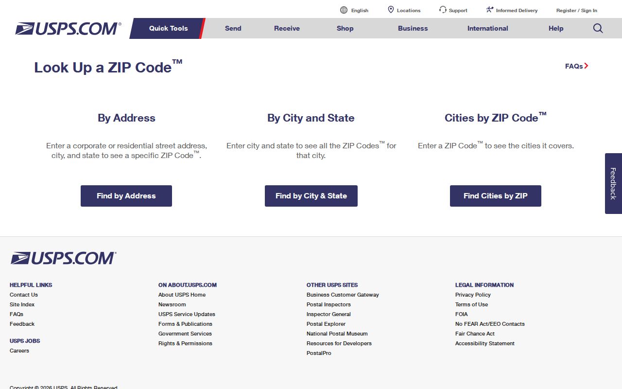
Use its standardized address result before checking a parcel map or sending a request to a city or county custodian.
Fredericksburg ZIP Code Record Routing
The local systems are intentionally narrow. Virginia Secure Remote Access has limited free index access for 22401 city land records. Full images and broader access use the Clerk's subscriber or counter channels. The city's land-record page says the city clerk keeps land-record instruments for city property and provides books and indexes at the counter. It is not the right route for a 22405, 22406, 22407, or 22408 county parcel. For those ZIPs, identify the physical county before locating the relevant county office.
FredGIS MapInsights accepts address, parcel, and map navigation, but the current public material does not expose a ZIP search field. Its parcel selection, map layers, and buffer tools are the local crosswalk after a postal check. The city tax research form is different again. It has Parcel ID and Tax year fields, not a confirmed ZIP-wide owner search. CAP is address keyed and advises users to enter a number plus the first two or three street letters. The voter portal supports individual address and precinct verification, not an anonymous public ZIP-wide list.
| System | Confirmed search or entry method | ZIP-related limit |
|---|---|---|
| SRA land records | Locality, party name, GPIN, record type, and date or index range | Limited free remote index is tied to 22401 city property; do not apply it to county parcels. |
| FredGIS MapInsights | Address or parcel search, map selection, layers, buffer, adjoining parcels, and export | No confirmed public ZIP field in the current static documentation. |
| City tax research | Parcel ID and Tax year | Not a confirmed ZIP-wide search or a substitute for the GIS parcel workflow. |
| CAP | Address or project location, using number plus first two or three street letters | ZIP alone is not a permit-search key. |
The city real-estate research form shows the separate Parcel ID and Tax year entry screen.
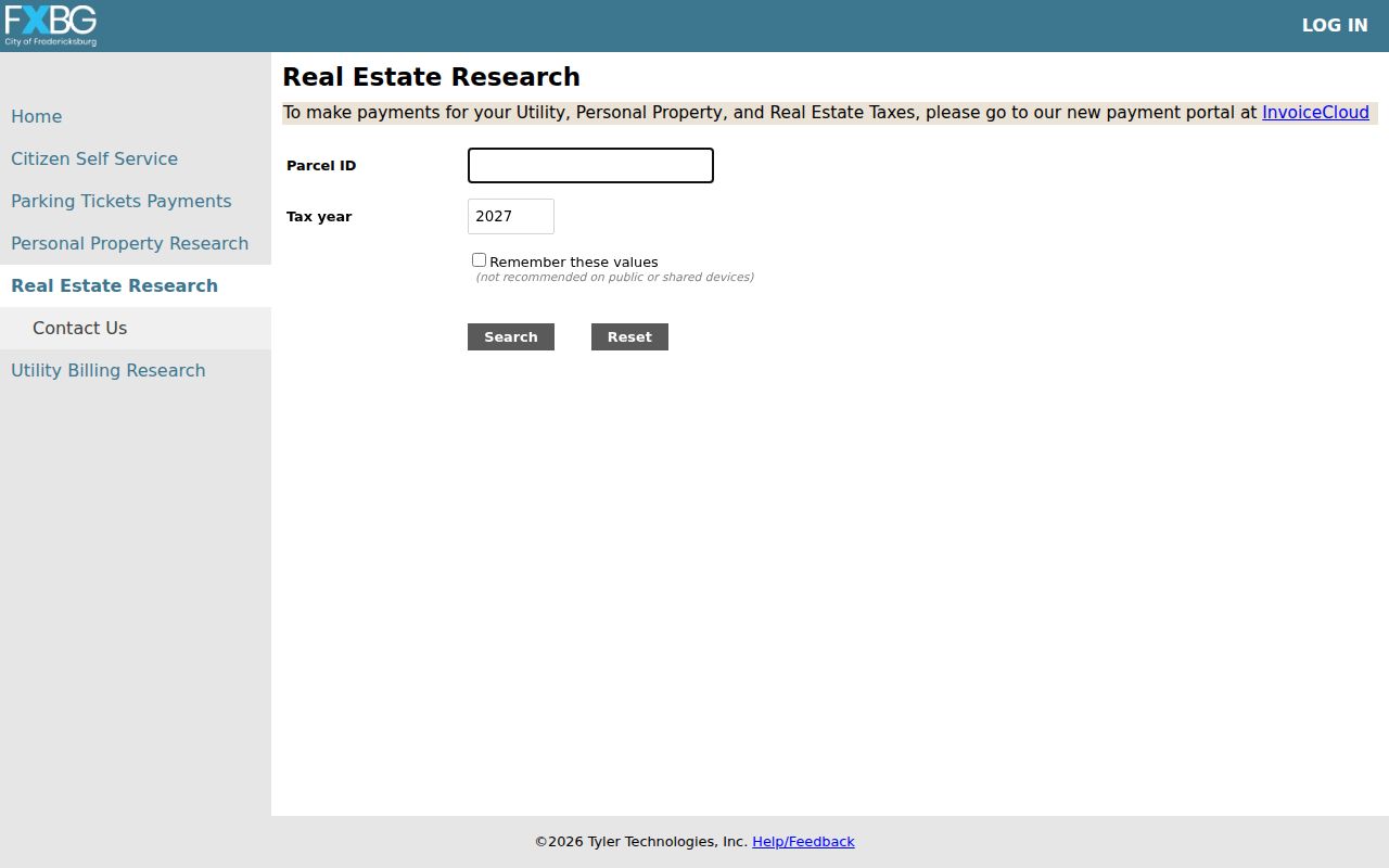
The form helps with a known parcel and year, but it should not be presented as a ZIP-wide resident roster.
Note: City tax information is separate from the public GIS, so map results need a Clerk, Commissioner, or Treasurer confirmation when tax detail matters.
Find Residents by Fredericksburg ZIP Code
A ZIP can narrow a research area, but it does not produce a complete public list of people. Use it to validate the mailing form and route a known address to the correct city or county custodian. For a 22401 parcel, the city map and the Circuit Court Clerk's index form the local record path. For an address in the surrounding ZIPs, the next records office may be in Stafford or Spotsylvania. That routing step prevents a city search from being mistaken for regional coverage.
- Use the USPS address tool to standardize the complete street address and confirm the ZIP-city pairing.
- Check the city ZIP map and city-limits or GPIN maps to identify the physical locality, especially for a regional Fredericksburg mailing address.
- For a confirmed 22401 city parcel, use FredGIS to capture the parcel, situs, and GPIN, then use the city Clerk's land-record route for recorded instruments.
- For 22405, 22406, 22407, or 22408, send the property or court request to the jurisdiction that holds the physical situs instead of assuming city custody.
- When an older name or address is involved, compare the result with maps, city directories, court extracts, and newspaper indexes rather than treating postal geography as historic evidence.
Once a ZIP has narrowed the area to a known street, the Fredericksburg street directory provides the separate address-based record sequence. It focuses on parcels, deeds, and map work rather than turning postal geography into a household list.
Fredericksburg ZIP Code Map Tools
FredGIS MapInsights is the current public parcel workflow. The city's GIS information page describes parcel layers, building structures, neighborhoods, roads, addresses, zoning, parks, aerial imagery, adjoining-parcel selection, bookmarks, draw and measure tools, and export. The new viewer reports 2024 and 2026 aerial imagery while the legacy WebLoGIStics system is being retired. MapInsights can place a street within its physical setting, but the city says it is not a survey, a legal description, or a replacement for deed research.
| MapInsights control | What it can do | How it helps ZIP work |
|---|---|---|
| Address or parcel search | Find an address or select a parcel on the map | Checks a standardized address against its local parcel context. |
| GPIN or parcel result | Displays the city parcel identifier and property information | Supplies the city-specific identifier for a confirmed city parcel. |
| Layers and aerial imagery | Shows parcels, addresses, roads, neighborhoods, wards, historic districts, and other mapped features | Tests a postal area against city limits and visible geography. |
| Buffer and export | Queries nearby parcels and exports a stable result set | Supports a map review after jurisdiction is known, not a ZIP roster. |
The FredGIS MapInsights viewer is the source for the current parcel and layer tools.
Its map tools are most useful after USPS and city-limit checks have identified the correct physical locality.
Fredericksburg ZIP Code City Limits
A ZIP code boundary and a municipal boundary answer different questions. Postal geography helps a carrier route mail. City limits determine whether the City of Fredericksburg is the local government record custodian. A parcel's situs is the physical location, its mailing address is where correspondence is sent, and its legal description identifies land through a lot, subdivision, or other recorded terms. The city map, GPIN, and recorded legal description are stronger jurisdiction checks than a mailing label.
- ZIP versus ZIP+4
- A ZIP identifies a broader delivery area. ZIP+4 adds a smaller delivery segment and does not change the city or county record custodian.
- Post-office-box ZIP
- A ZIP used for a postal box. It identifies where mail is collected, not necessarily where a physical address is located.
- Unique ZIP
- A ZIP assigned to one institution or a special delivery arrangement. No confirmed unique Fredericksburg ZIP was identified in the inspected sources.
- Carrier route
- A postal delivery grouping. It can assist mail delivery but does not establish parcel jurisdiction or a legal boundary.
Postal output can validate formatting and ZIP-city association, but it cannot confirm jurisdiction, parcel ownership, or every person tied to an address. Use the official city map and the parcel record to resolve that mismatch before relying on a local record search.
Fredericksburg ZIP Code History
Modern postal lines should not be projected backward onto Fredericksburg history. The city expanded through annexations in 1951, 1955, and 1984. The 1984 annexation added about 4.4 square miles from Spotsylvania, so the relevant local government, street pattern, and census geography can differ by record era. The city maps page and historic deeds are the better bridge when an older record seems to sit outside a current postal boundary.
There is no confirmed ZIP realignment year in the inspected official sources. The city ZIP map image is dated January 7, 2022, but that is not evidence of a historical postal split. Older Fredericksburg directories use cross-street descriptions and named locations rather than modern ZIPs. For an older household trail, consult the Fredericksburg city directory collections, historic maps, and the closest census before comparing an address to a current ZIP.